Stockpile Volumetrics and Earthwork Tracking
Drone-based volumetric surveying captures high-density topographic data to calculate stockpile volumes, monitor site earthwork, and export precise surfaces into AutoCAD Civil 3D.
If your earthwork contractor and the owner disagree on how many cubic yards have moved or are still in the pile, the argument ends when both sides work from the same measured surface. Drone surveying captures site topography using aerial photogrammetry and GNSS RTK ground control to calculate precise cut and fill volumes. This replaces dangerous manual grid surveys with millions of measured surface points, providing site contractors with verifiable earthwork quantities.
Why replace traditional surveying for stockpile measurement?
Walking a large stockpile with a GPS rover puts personnel at risk and captures only sparse grid points, leading to volume interpolation errors. Aerial capture provides a continuous 3D surface model without placing technicians in the path of heavy machinery.
Traditional methods force a surveyor to climb loose material and estimate the slopes between their measured points. A DJI Enterprise drone captures the precise geometry of irregular piles, toe lines, and retaining walls from above. We process these overlapping high-resolution images in Pix4D or DroneDeploy to generate a dense point cloud and a Digital Surface Model (DSM). This dense surface data captures the actual slumps and voids that a grid survey misses, resulting in volume calculations that match the real physical material. Send us your site coordinates and we will tell you the turnaround time for a volumetric report.
How accurate are drone-based volumetric calculations?
Photogrammetric volume calculations built on rigid ground control achieve tight volume variances compared to traditional methods. The absolute accuracy of the digital surface depends entirely on the ground control strategy.
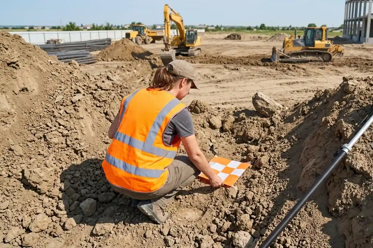
We deploy GNSS RTK receivers to establish ground control points (GCPs) across the site before the flight. These physical targets anchor the aerial imagery to your local coordinate system. For active earthwork, capturing the site before breaking ground establishes a verified baseline surface. Subsequent flights calculate the precise volume of material moved by comparing the new surface against that initial baseline. The density of the aerial point cloud ensures that small grade changes over large acreage are quantified rather than generalized.
What deliverables do you provide for earthwork tracking?
Deliverables range from single-page PDF volume reports for specific stockpiles to comprehensive 3D surfaces formatted for AutoCAD Civil 3D.
Site managers monitoring weekly progress usually require a direct PDF report detailing the cut, fill, and net volume of designated material zones. For engineering and grading teams, we export the digital terrain model as an RCP point cloud or a standard TIN surface for direct import into AutoCAD Civil 3D. This allows your team to run their own quantity takeoffs against the proposed design surface. Certified survey deliverables (boundary, ALTA, stamped topo) are performed by our licensed California Professional Land Surveyor (PLS) partner. We coordinate the land surveying spatial data to align your legal boundary with your new drone surveying and inspection capture.
When is photogrammetry the wrong tool for volumetrics?
Photogrammetry fails when dense vegetation obscures the ground or when measuring sub-surface material displacement. An aerial camera cannot measure what it cannot see.
If your earthwork site is covered in thick brush or forest canopy, photogrammetry will map the top of the trees instead of the bare earth. In those scenarios, 3D laser scanning or aerial LiDAR is required because the laser pulses can penetrate the canopy gaps to strike the ground. Similarly, if your project involves tracking submerged material in a flooded quarry pit, aerial sensors are blocked by the water surface and sonar is the correct choice. Identifying the right sensor prevents you from basing your grading quantities on false ground data.
How does site access impact the capture schedule?
Flight operations require airspace clearance and coordination with active heavy machinery to ensure safe mobilization.
Our FAA Part 107 compliant operations mean we handle the airspace authorization for sites near controlled airports before the crew arrives. We scale our mobilization across San Diego County, with projects across Orange County, Riverside County and the Inland Empire. We schedule flights during lunch breaks or shift changes if the airspace above the active pit is too congested with crane activity. Tell us your grading schedule and we will scope the specific capture intervals your site needs.