Understanding Commercial Boundary Surveys
A commercial boundary survey establishes the exact legal perimeter of a parcel by comparing physical field evidence against recorded deed descriptions. Developers and architects rely on this verified boundary data to ensure new structures comply with local zoning setbacks and avoid encroaching on neighboring land.
If your site plan puts a new building, wall, or addition near a property line, the city, your lender, or your neighbor may ask where that line actually is, and only a boundary survey answers that. A commercial boundary survey establishes the exact legal perimeter of a parcel by comparing physical field evidence against recorded deed descriptions. Developers and architects rely on this verified boundary data to ensure new structures comply with local zoning setbacks and avoid encroaching on neighboring land.
When do I actually need a boundary survey?
You need a boundary survey before any site design begins, when subdividing a parcel, or when applying for new construction permits in San Diego County. Relying on an outdated map or a county GIS portal for property lines introduces immediate risk. GIS parcel lines are approximate representations for tax purposes, often shifted several feet from the legal boundary. If an architect designs a zero-lot-line structure based on a GIS map, the contractor risks building over the actual property line, triggering costly redesigns or legal disputes.
A field-verified boundary survey removes this spatial ambiguity. It gives your design team a hard, legally defensible line to measure setbacks against. If your project involves a simple fence replacement on a flat suburban lot, a basic boundary survey provides all the necessary clearance. Send us your site address and we will confirm what level of boundary documentation your local jurisdiction requires for permitting.
What hardware captures the physical boundary evidence?
Establishing a boundary requires finding historical monuments, like iron pipes or brass disks, and measuring their exact coordinates. Boundary evidence is captured with a mix of high-precision instruments, depending on the terrain and overhead obstructions.
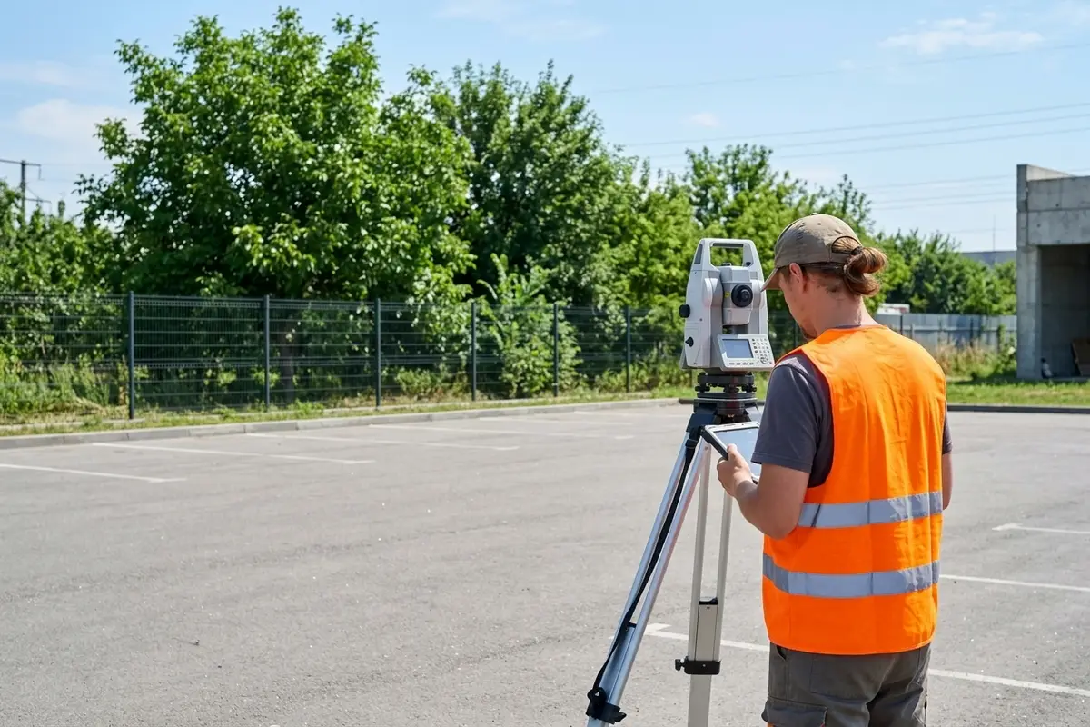
Open commercial parcels and clear suburban lots are typically captured using GNSS RTK receivers. These devices connect to satellite constellations and reference a local base station to establish precise global coordinates. This allows corners to be recorded rapidly across large, unobstructed areas. In dense urban environments, under heavy tree canopy, or inside structural courtyards where satellite signals degrade, a robotic total station is the standard fallback. This optical instrument uses lasers to measure angles and distances from a known control point, maintaining precision even when the sky is completely blocked. The raw measurements from both systems are merged into a single coordinate geometry network during post-processing.
How does a boundary survey differ from an ALTA survey?
A standard boundary survey focuses strictly on the perimeter lines and the immediate physical evidence of those lines. It answers exactly where the property begins and ends. An ALTA/NSPS land title survey is a much heavier, title-driven document designed primarily for commercial real estate transactions and lender requirements.
A standard boundary survey notes visible fences or walls near the line. An ALTA survey actively maps invisible legal encumbrances listed in a title commitment, such as an underground utility easement, a recorded access easement, or a neighbor’s right-of-way. If you are buying a commercial plaza or securing title insurance for a major development, the lender will require an ALTA survey. If you already own the parcel and simply need to know where to pour a retaining wall foundation, a standard boundary survey is the correct, more cost-effective choice.
When is a boundary survey the wrong choice?
A standalone boundary survey is the wrong choice if your project involves complex grading, extensive earthwork, or tapping into municipal utilities. The boundary map gives you the horizontal limits of your property, but it provides zero vertical context.
If your civil engineer needs to design drainage plans or calculate cut-and-fill volumes, they need a topographic survey layered over the boundary. We often supplement traditional property line capture with drone surveying and inspection or 3D laser scanning to generate a dense, high-accuracy topographic surface. Identifying your engineering requirements early prevents you from paying for a flat perimeter map when your team actually needs a comprehensive 3D site model.
What deliverables make up the final handoff?
The standard deliverable for a boundary survey is a 2D map, drafted in AutoCAD Civil 3D and delivered as a DWG and a certified PDF. This file integrates directly into the architect’s site plan. It includes bearing and distance labels for every property line, descriptions of the physical monuments found or set at the corners, and notes regarding any observed encroachments.
Certified survey deliverables (boundary, ALTA, stamped topo) are performed by our licensed California Professional Land Surveyor (PLS) partner. We handle the land surveying coordination and advanced capture technologies, while the PLS partner signs, stamps, and assumes professional responsibility for the final legal map. If the boundary data is part of a larger reality capture scope, we tie the boundary control network into the point cloud registration, so any subsequent scan-to-BIM deliverable, like an Autodesk Revit model of the existing buildings, shares a unified coordinate system with the legal property boundaries.
How do site conditions drive the field timeline?
Because boundary resolution is a mix of historical deed research and physical measurement, costs and timelines fluctuate based on the specific parcel. A flat, clearly monumented half-acre lot requires minimal field time and straightforward drafting. A 40-acre wooded parcel in the foothills, where the original monuments were set in the 1920s and half are missing, requires extensive search time and complex boundary reconciliation.
Vegetation density, terrain steepness, and historical mapping quality all dictate the hours required to verify the boundary. Serving all of San Diego County, with projects across Orange County, Riverside County and the Inland Empire, we map parcels across all these terrain types. Send us your parcel number and project scope, and we will define a clear timeline for field mobilization and map delivery.