Orthomosaic Drone Mapping for Construction and Site Planning
High-resolution orthomosaic maps generated from FAA Part 107 compliant drone flights. We deliver geo-referenced aerial data for earthwork volumetrics, site logistics, and construction progress tracking.
If your team needs a current, measurable picture of the whole site (stockpiles, haul roads, laydown areas, finished grades), a ground crew cannot capture it often enough to stay current. Orthomosaic drone mapping converts hundreds of overlapping aerial photographs into a single, geometrically corrected 2D image. Unlike standard aerial photos, an orthomosaic removes perspective distortion, making the final map measurable. Civil engineers, site managers, and architects use this geo-referenced data to track earthwork volumes, plan logistics, and verify as-built conditions against design coordinates.
Why replace satellite imagery with orthomosaic drone maps?
Public satellite imagery is often months out of date and lacks the resolution required for construction planning. Standard satellite data typically provides a ground sample distance (GSD) of 12 inches (30 cm) per pixel, which blurs structural site details and utility markings.
An orthomosaic map captured by DJI Enterprise drones achieves a GSD of 0.5 to 1 inch (1.2 to 2.5 cm) per pixel. This level of detail allows project managers to identify specific paint markings, track the exact footprint of material stockpiles, and verify the placement of temporary fencing. We process the flight data through Pix4D or DroneDeploy, stitching the images into a continuous map that aligns precisely with your site coordinate system. By capturing the site at key project milestones, you establish a verifiable record of subcontractor progress and material delivery.
How accurate is an RTK drone survey?
A drone map is only reliable if it ties accurately to the real world. Without ground control, a basic drone map can drift by several feet, rendering it useless for civil engineering workflows.
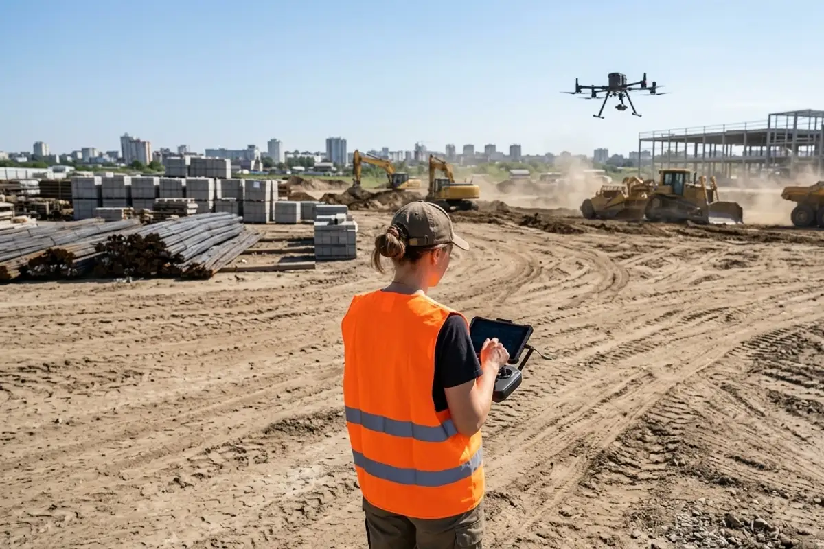
We deploy GNSS RTK receivers to establish ground control points (GCPs) across the site before the flight. The DJI Enterprise drone integrates its own RTK module, communicating with the base station to tag every photograph with precise geographic coordinates. This combination of aerial RTK and physical ground targets yields a relative horizontal accuracy of 0.4 to 0.8 inches (1 to 2 cm). This precision is tight enough to calculate cut-and-fill volumes for earthmoving operations without sending a technician to walk the entire perimeter with a rover. Tell us the size of your excavation site, and we will define the required flight grid and ground control layout.
When is photogrammetry the wrong choice for a site?
Drone photogrammetry fails when the site is covered by dense tree canopy or heavy vegetation. Cameras rely on visible light and cannot see the bare earth beneath leaves and branches.
If your objective is generating a bare-earth topographic model in a heavily wooded parcel, drone surveying and inspection using photogrammetry will only map the tops of the trees. In these environments, aerial LiDAR is required to penetrate the canopy and reach the ground. Photogrammetry also struggles with highly reflective surfaces like standing water or uniform fields of tall grass, where the processing software cannot find unique tie points to stitch the images together. For tracking interior structural progress, 3D laser scanning provides the necessary millimeter-level interior geometry that aerial platforms cannot reach.
What deliverables integrate with civil design software?
The standard deliverable is a geo-referenced TIFF (GeoTIFF) accompanied by an LAS point cloud and a 3D mesh in OBJ format.
The GeoTIFF imports directly into AutoCAD Civil 3D, serving as an accurate base map for overlaying utility lines and grading plans. The LAS point cloud, generated from the overlapping 2D images, provides elevation data that engineers use to extract contour lines and calculate volumetric measurements. Certified survey deliverables (boundary, ALTA, stamped topo) are performed by our licensed California Professional Land Surveyor (PLS) partner. We handle all aerial capture and land surveying coordination, serving all of San Diego County, with projects across Orange County, Riverside County and the Inland Empire. Send us your site boundaries, and we will schedule the exact flight operations needed for your project phase.