Topographic Surveys Explained
A topographic survey maps the physical features and elevation changes of a property. It provides the verified dimensional baseline required for civil engineering, grading plans, and architectural design.
If your civil engineer cannot start the grading or drainage design until someone shows what the ground actually looks like, the topographic survey is that first deliverable. It measures and maps the physical features and elevation changes of a property and establishes the 3D baseline required for civil design, grading plans, and drainage analysis. Architects and civil engineers rely on this data to ensure new structures sit correctly on the existing terrain.
What dictates the capture method?
The capture method depends entirely on the required accuracy, the site size, and the density of existing vegetation. We evaluate the spatial constraints of a site to deploy the correct instrument.
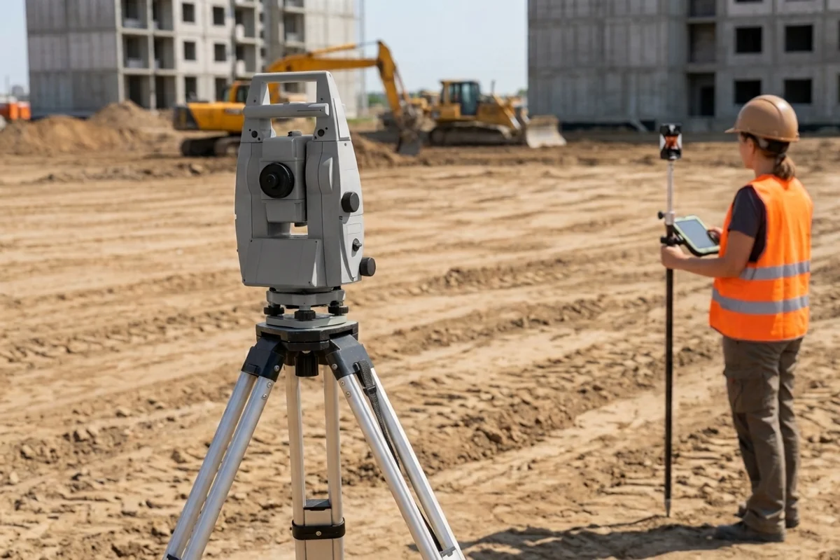
Open commercial parcels and suburban lots are typically captured using GNSS RTK receivers, which connect to satellite constellations to establish precise global coordinates. In dense urban canyons or under thick tree canopy where satellite signals degrade, field crews rely on a robotic total station. These optical instruments use lasers to measure angles and distances, establishing accurate ground control points for the rest of the survey grid. Send us your site address and we will determine the most efficient instrument mix for your terrain.
For sites over five acres, drone photogrammetry captures the topography much faster than a technician on foot. A pilot conducting FAA Part 107 compliant operations flies the site, tying the aerial imagery to known coordinates via GNSS RTK ground control. This method generates massive point clouds that translate into digital elevation models and contour maps. We use drone surveying and inspection to capture earthwork volumetrics and broad site context.
When is an aerial survey the wrong choice?
Drone photogrammetry fails when the objective is mapping the exact ground surface beneath a dense tree canopy. Standard drone cameras capture the top of the trees, not the dirt below. Aerial LiDAR can penetrate some foliage, but for heavily wooded parcels, deploying a robotic total station on the ground is usually the more reliable way to measure true ground elevations. Rely on terrestrial methods for precise hardscape tie-ins and heavily vegetated sites.
How does topography integrate with building models?
Topographic data provides the exterior context for an interior scan-to-BIM project. When a terrestrial LiDAR scanner like the Leica RTC360 captures an existing building at +/-2 mm accuracy, that interior point cloud must sit on a reliable exterior ground surface.
By establishing a unified control network across the site, the high-density interior point cloud ties directly into the coordinate system of the topographic survey. This alignment ensures the finished Revit model sits at the correct elevation, minimizing coordination errors when routing new municipal utilities into the building envelope.
What are the standard topographic deliverables?
The standard output is a 2D or 3D AutoCAD Civil 3D DWG file containing contour lines at a specified interval, typically one foot or two feet. The deliverable often includes a TIN (Triangulated Irregular Network) surface, which civil engineers use to calculate cut and fill volumes for proposed grading.
Certified survey deliverables (boundary, ALTA, stamped topo) are performed by our licensed California Professional Land Surveyor (PLS) partner. We provide the land surveying coordination and advanced reality capture technologies that feed into these legal deliverables. Serving all of San Diego County, with projects across Orange County, Riverside County and the Inland Empire, we align the field data capture with your specific design software requirements. Share your project boundary and required contour interval, and we will define the exact mobilization timeline and deliverable format.