ALTA/NSPS Land Title Surveys Explained
A technical guide to ALTA/NSPS Land Title Surveys, detailing core boundary requirements, Table A optional items, field equipment, and deliverables for commercial real estate transactions.
If a lender or title company has asked for an ALTA survey before you close on a commercial property, they want a survey drawn to a national standard that shows everything on and around the site that could affect title or financing. An ALTA/NSPS Land Title Survey is the most comprehensive boundary survey available for commercial real estate. Governed by strict national standards jointly developed by the American Land Title Association (ALTA) and the National Society of Professional Surveyors (NSPS), it exists to answer one fundamental question for buyers, lenders, and title insurers: What physical and legal realities exist on this site that could impact ownership or development?
A standard boundary survey locates property lines. An ALTA/NSPS survey goes further: it merges physical field measurements with recorded title documents. It maps invisible legal encumbrances—like a 30-year-old utility easement or a neighbor’s overlapping fence—against the physical improvements currently on the ground.
The core requirements of an ALTA/NSPS survey
The base standards for an ALTA survey mandate the location and mapping of several critical site features. Without selecting any optional add-ons, a compliant ALTA/NSPS survey must document:
- Boundary lines and corners: Field-measured and compared against the recorded legal description.
- Visible improvements: Buildings, structures, parking lots, and paved areas located in relation to the boundary.
- Easements and rights-of-way: Plotted based on the Schedule B documents provided in the title commitment.
- Encroachments: Any physical improvements crossing the property line, whether from the subject property onto adjacent land, or vice versa.
- Access: Direct access to public streets or recorded private rights-of-way.
- Water features: Creeks, rivers, ponds, or swamps located on or immediately adjacent to the property.
Decoding Table A: Optional items for AEC
The base survey covers what title insurers need, but architects, engineers, and developers usually need more actionable design data. This is where Table A comes in. Table A is a standardized checklist of 19 optional items that can be negotiated into the surveyor’s scope of work.
For AEC professionals planning renovations or new construction, the most commonly requested Table A items include:
- Item 5 (Topography): Vertical relief mapped at specific contour intervals. For complex sites, we often supplement this traditional capture with drone surveying & inspection to provide highly dense topographic models alongside the boundary data.
- Item 6 (Zoning): Listing the current zoning classification, setback requirements, height restrictions, and parking requirements (provided by a zoning report).
- Item 8 (Substantial Features): Location of additional substantial features like retaining walls, swimming pools, or specific landscape features.
- Item 11 (Underground Utilities): Location of underground utility lines based on observed evidence, utility markings (like USA Dig Alert), and available plans.
Send us the title commitment and the lender’s Table A list, and we will confirm the scope our PLS partner needs to price the survey.
Field capture and equipment
ALTA/NSPS standards require strict relative positional precision—measurements must be accurate to within 2 cm (0.07 feet) plus 50 parts per million. To achieve this, field crews deploy a mix of high-precision instruments depending on the site environment.
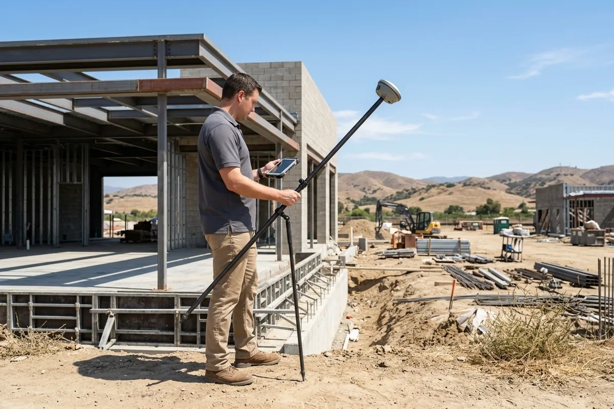
Open commercial parcels and suburban lots are typically captured using GNSS RTK receivers, connecting to satellite constellations to establish precise global coordinates. In dense urban canyons or heavily canopied areas where satellite signals degrade, crews rely on a Robotic total station. These optical instruments use lasers to measure angles and distances.
The resulting data is processed and drafted into AutoCAD Civil 3D to create the final deliverable map.
Licensing and legal compliance
It is critical to distinguish between data capture and legal boundary determination. In California, mapping property lines and interpreting title documents for an ALTA/NSPS survey is a legally regulated activity.
Certified survey deliverables (boundary, ALTA, stamped topo) are performed by our licensed California Professional Land Surveyor (PLS) partner. We also provide the land surveying coordination and advanced capture technologies that feed into these legal deliverables. Our PLS partner signs, stamps, and assumes professional responsibility for the final ALTA map.
Cost and timeline factors
Because an ALTA survey is a hybrid of legal research and field measurement, costs and timelines fluctuate based on several inputs:
- Site area and terrain: A flat, 1-acre paved commercial lot requires significantly less field time than a 50-acre wooded parcel with extreme elevation changes.
- Table A selections: Requesting 1-foot topographic contours (Item 5) or intensive underground utility mapping (Item 11) increases field and drafting time.
- Title complexity: A property with 40 historical easements requires more drafting and reconciliation than a newly subdivided parcel with only two.
- Mobilization and access: Active industrial facilities or high-security campuses may require phased access, slowing down the field crew.
Serving all of San Diego County, with projects across Orange County, Riverside County and the Inland Empire, timelines for a complete ALTA/NSPS survey typically range from 3 to 6 weeks. The primary bottleneck is often the receipt of the title commitment—field crews can measure the site immediately, but the map cannot be finalized until all Schedule B documents are reviewed and plotted.
Integration with broader reality capture
For major commercial retrofits, an ALTA survey is just the first layer of truth. While the PLS partner secures the boundary and site constraints, teams often simultaneously commission 3D laser scanning for the building interiors and facades.
By establishing a unified control network across the site, the high-density interior point cloud can be tied directly into the coordinate system of the ALTA survey. This means your eventual Revit model sits aligned with your legal property boundaries, preventing costly coordination errors when tying new building systems into existing municipal utilities.
Share the parcel address and your closing date, and we will tell you whether the survey timeline fits it.